Elm Brook Park Rec Area
20 mi northwest · US Army Corps of Engineers
Elm Brook Park is a day-use area located on Elm Brook Pool just off State Route 127 near Concord, New Hampshire.
Outdoors
National forests, parks, lakes and recreation areas with hiking trails near Manchester, closest first.
Good to know: Carry more water than you think you need, check the managing agency’s page for trail closures and fire restrictions, and start early on hot days.
20 mi northwest · US Army Corps of Engineers
Elm Brook Park is a day-use area located on Elm Brook Pool just off State Route 127 near Concord, New Hampshire.
21 mi northwest · US Army Corps of Engineers
One of two lakes combined to form the largest flood control project in New England is located near Concord.
22 mi west · Fish and Wildlife Service
Wapack National Wildlife Refuge, established in 1972 through a donation from Laurence and Lorna Marshall, was New Hampshire's first refuge. The refuge is located about 20 miles west of Nashua, New Hampshire and encompasses the 2,278 ft.
Map of 25 places loads as you scroll.
Elm Brook Park is a day-use area located on Elm Brook Pool just off State Route 127 near Concord, New Hampshire.
One of two lakes combined to form the largest flood control project in New England is located near Concord.
Wapack National Wildlife Refuge, established in 1972 through a donation from Laurence and Lorna Marshall, was New Hampshire's first refuge. The refuge is located about 20 miles west of Nashua, New Hampshire and encompasses the 2,278 ft.
A picturesque recreation area located near Peterborough, this facility is named after the famous composer and concert pianist, Edward Alexander MacDowell. In 1907 his wife, Marian, established the MacDowell Colony for artists.
Edward MacDowell Lake is situated in a quiet corner of the Monadnock Region of New Hampshire.
Established in 1992, Great Bay National Wildlife Refuge is located along the eastern shore of New Hampshire's Great Bay in the town of Newington.
The refuge was established in 1941, and today consists of more than 4,700 acres of diverse upland and wetland habitats including sandy beach and dune, maritime shrubs and forests, cranberry bogs, man-made impoundments, salt marsh and…
Sited on the Pemigewasset River near Franklin, this recreation area drains a 1,000 square-mile watershed that extends all the way to the White Mountains. There are 4,000 acres of wooded river valley available for recreation.
Oxbow National Wildlife Refuge, is one of the eight refuges that make up the Eastern Massachusetts National Wildlife Refuge Complex.
At Minute Man National Historical Park the opening battle of the Revolution is brought to life as visitors explore the battlefields and structures associated with April 19, 1775, and witness the American revolutionary spirit through the…
to Assabet River National Wildlife Refuge! Located in the towns of Sudbury, Stow, Maynard and Hudson, and just 20 miles west of Boston, Assabet River NWR is one of eight national wildlife refuges that comprise the Eastern Massachusetts…
Otter Brook Lake Recreation Area is a U.S. Army Corps of Engineers day use facility offering many outdoor recreation opportunities everyone can enjoy. The park is located in Keene and Roxbury, New Hampshire.
The Ashuelot River offers fishing for bass and stocked trout. The lake is limited to 10-hp engines on vessels.
The U.S. Army Corps of Engineers invites you to come relax at Tully Lake. There are a variety of outdoor recreation activities for you and you family.
Located just thirty miles north of Boston, Thacher Island NWR is home to herring and great black-backed gulls. The refuge serves as a stopover site for songbirds and other migrants to rest and feed during their seasonal migration.
Rachel Carson National Wildlife Refuge was established to preserve migratory bird habitat and waterfowl migration routes associated with southern Maine's coastal estuaries. In the mid -1800s, the estuarine habitats teemed with wildlife.
The Blackstone River runs from Worcester, MA to Providence, RI. Its waters powered the Slater Mill in Pawtucket, RI, America's first successful cotton spinning mill.
Stoughton Pond Recreation Area is a day use area located to the north of North Springfield Lake. Stoughton Pond is located off State Route 106 on Stoughton Pond Road in Perkinsville, Vermont.
On a quiet back road and across an old fieldstone bridge lies West Hill Park, where the West River widens to form a large, natural pool.
In 1958 the U.S. Army Corps of Engineers built Buffumville Dam in Charlton, Massachusetts to provide flood risk management for downstream communities.
Townshend Lake is a flood control project operated by the U.S. Army Corps of Engineers, serving communities within the West River Valley, and those downstream.
Waterville Campground is a popular home base for hikers who want to explore the southern White Mountains, including the scenic Pemigewasset Wilderness.
Osceola Vista is a popular spot for group camping and is located near a host of outdoor activities, including hiking, mountain biking, canoeing and golfing.
White Ledge Campground is conveniently located off State Route 16, 5 miles south of the town of Conway, New Hampshire.
Westville Lake is situated on the Quinebaug River in the towns of Southbridge and Sturbridge, Massachusetts.
Distances are straight-line miles from downtown Manchester. Listings come from Recreation.gov’s federal recreation database; check each official page for hours, fees, fire restrictions and closures before you go.

THINGS TO DO · YOUTUBE SHORT
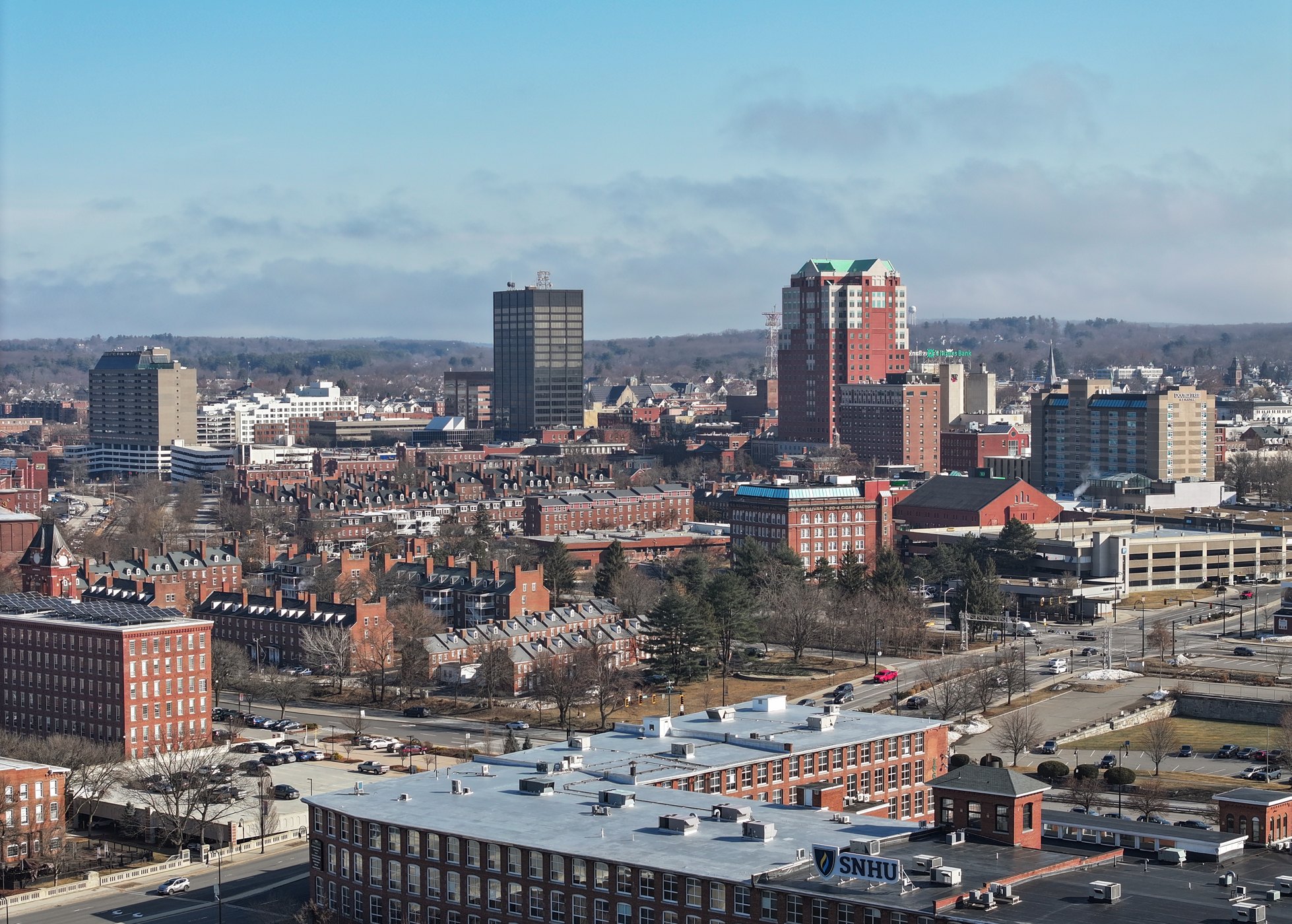
Drone views of Manchester and the Merrimack River. A film shared by James - BeBop.
Watch on YouTube ↗
A WALK AROUND TOWN
A 4K walk through downtown Manchester. A film shared by Fragile Rovers.
Watch on YouTube ↗Elm Brook Park Rec Area (US Army Corps of Engineers), about 20 miles northwest of Manchester as the crow flies. Next are Hopkinton-Everett Lake (21 mi) and Wapack National Wildlife Refuge (22 mi).
Based on Manchester’s average highs, March–June, September–November. Conditions at higher elevations can be much cooler.
Federal agencies including US Army Corps of Engineers, Fish and Wildlife Service, USDA Forest Service. Each listing links to its official page for hours, fees, closures and current conditions.